Equinoctial Nova Scotia from the sky
At noon yesterday, NASA's Terra Satellite captured a rare, nearly cloud-free image of our fair province....
22 March, 2019
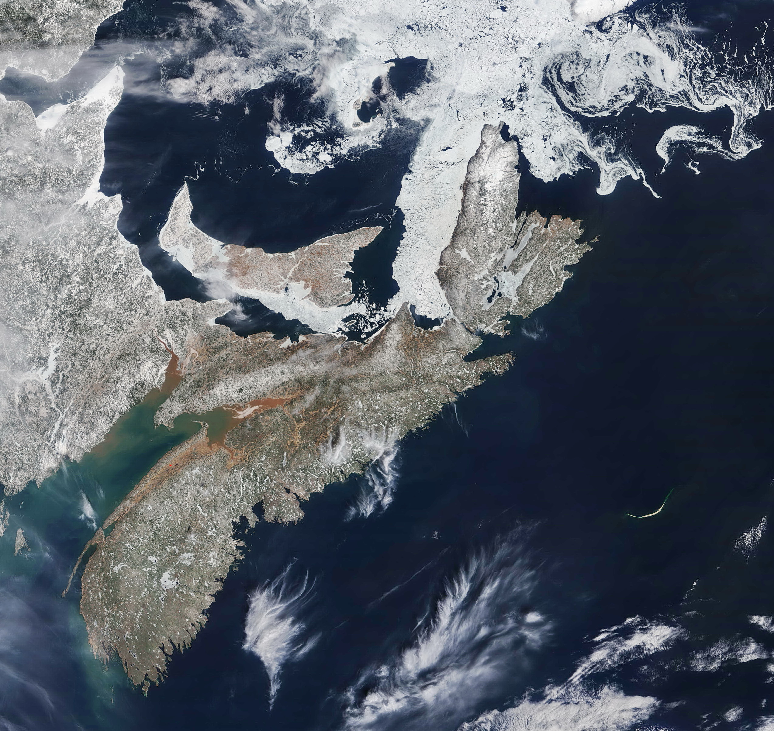
At noon yesterday, NASA's Terra Satellite captured a rare, nearly cloud-free image of our fair province....
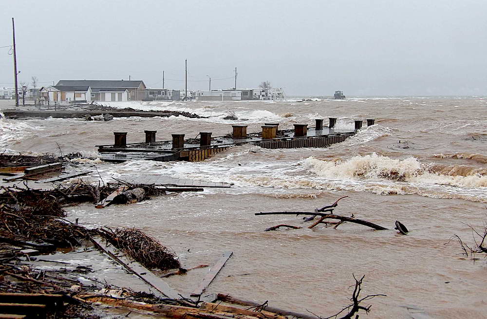
"Today's high winds out of the north created quite a storm surge along the southern shore of the Bras d’Or Lake," writes hydrologist Fred Baechler....
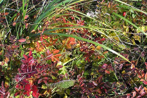
During September and October, the vegetated terrain of Sable Island becomes a tapestry of pale yellow, tan, amber, buffy, sienna, orange, red and purple, with the greens of juniper and crowberry woven throughout....

In the frigid North Atlantic, about 20 km. east of Labrador's northernmost coastline, there's a rocky island so small it can't be seen on Google Earth or Google Maps. It measures just 25 by 45 meters—about half a football field. It was first detected in 1973 by Elizabeth A. Flemming, a researcher with the Topographical Survey of Canada, who was poring over raw data from NASA's Landsat 1 satellite, looking for undiscovered geographical features. Finding an island this size off northern Labrador is harder than you might think. Clouds shroud the area most of the summer, and ice disguises its rocky...